Showing posts with label mine. Show all posts

Tuesday, 2 August 2016

Heading Bush


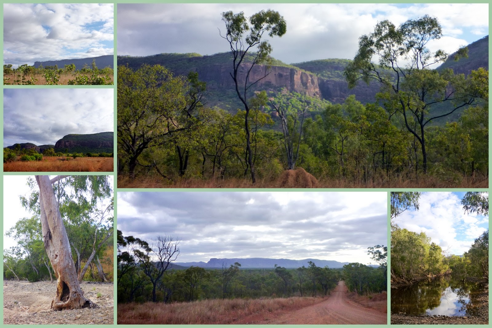
If you've been following along with my on and off blogging you might recall this view.


If not you can get a refresher here, from along the road on our unplanned trip to Cooktown.

On the weekend we headed off on an overnighter camping trip. We headed past that awesome lookout and then turned off onto a dirt road. We followed that road over hills and down gullies as it threaded its way through the bush.


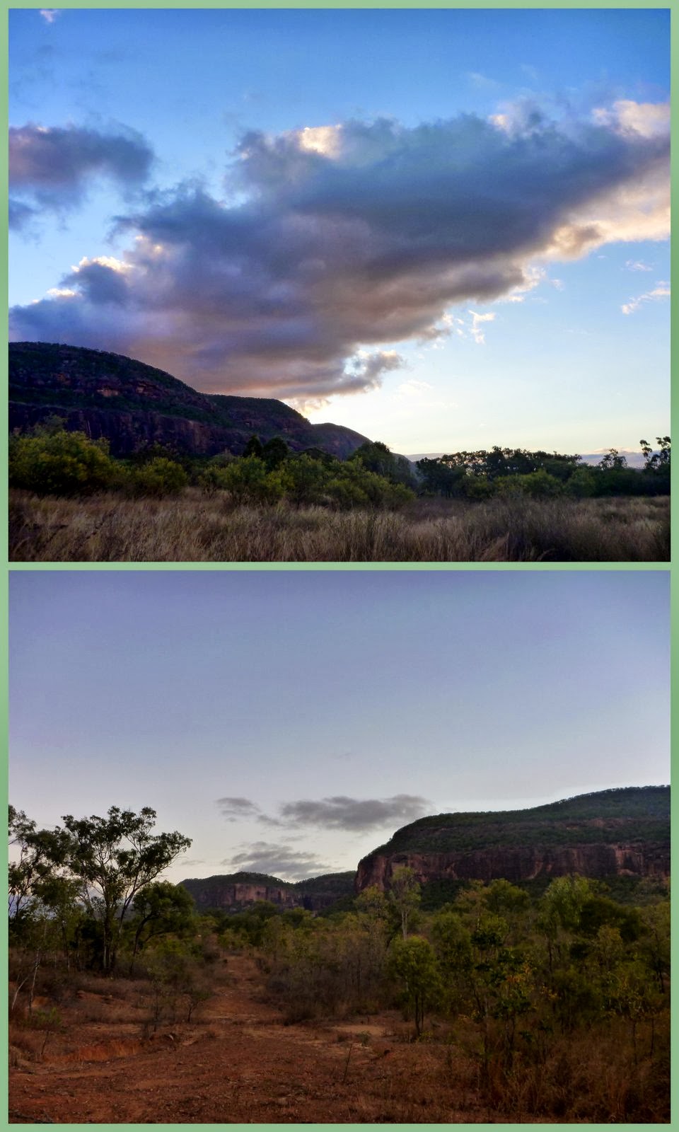
We watched the light fade and the sun set as we traveled along


We set up camp, enjoyed our campfire dinner and snuggled down for the night in our swags.
We watched the stars above and then watched the dark change to day as the sun rose.


Then we headed off onto other dirt tracks hunting out historical finds from mining equipment to a ghost town.


We wove our way along roads, thankful for the 4x4 and a higher vehicle.


We then headed back to where we had camped for lunch, a relax and to cool off in the river. 
The decision was made to head back on our way and so we followed that roller coaster road back to the highway.


We watched the light fade from the sky, yet again from the road. We had slight change of our change of plans, as happens, all the time and headed back down the range and to our comfy bed at home.


I'm hoping to share more of this much looked forward, yet unplanned, whirlwind trip. This however is a little teaser for you.

Grab button for one mother hen

Wednesday, 13 May 2015

Chillagoe and a bit of a History Lesson


How many photos can you take of a historical smelter site?


  123, what the heck 123! 
I think I got carried away. 
I usually do but is my insurance against the fact that I might not see that place again.
Good thing for you that you don't have to look at all 123, just a select few (still too many).


First stop in Chillagoe was the information center to find out about the caves in the area. You can even do self guided ones.


Next stop was the smelters.


It wasn't far from town. Actually signage was really good making everything easy to find.


Three chimneys can be seen, very easily, among the remains. They are the roaster chimney at the front, the powerhouse chimney in the middle and up on the hill there is the main chimney.

The roaster chimney
 So now for a bit of a history lesson. I took the information from the signs around the area which I have to admit I didn't actually read at the time. 
Actually, I think Mr Sparky (Mr Let's Move It We Are Taking Too Long) spent more time looking at these than me and found the statistics on signs interesting like that 1901 and 1943 the Chillagoe smelters treated 1 250 000 tonnes of ore (copper, lead, silver and gold). I think maybe it was because he used to work at the Townsville copper refinery. He does share my interest in history but you would never find his head in a book to find it out. This out and about way is more his style and I have to say way more fun than any history class.


Mining in North Queensland started during the 1870s but the Chillagoe area was left pretty much alone until the 1880s when copper, silver, lead, zinc and gold were discovered. There were already tin mines at Herberton and Irvinebank and had been gold rushes at the Palmer River and Hodgkinson.


John Moffat who was a tin mining magnate bought leases in the Chillagoe area and small mines and smelters popped up all over the place.


 William Atherton established a pastoral lease, Chillagoe Station, to provide beef to the area.


The only transport for the ore, machinery and supplies on extremely rough terrain was by bullock and horse teams as well as camel trains. 
Looking around I could see how hard the landscape was and couldn't even begin to imagine the hard work and time it would have taken to do anything.

The powerhouse chimney
In the late 1890s John Moffat managed to get the investment needed for a large scale mining development on the Chillagoe copper field. They were able to raise the money to buy up mining leases, build a smelter and construct a private railway from Mareeba to Chillagoe, connecting Chillagoe to the port of Cairns. 
Now that would have made transport a fair bit easier. It is a shame that transport system has been left to decay in the dust rather than being used.

The main chimney - 34m tall & 2.7m internal diameter at the base

When the rail was completed and the smelter opened in 1901, John Moffat and entrepreneur James Reid had spent over half a million pounds on construction. This made it the largest mining development in Queensland at the time.


Chillagoe smelters employed over 1000 people at their peak and by 1908 Chillagoe had a population of over 1500 people and was home to 10 pubs. I am glad they got the important information in there. 10 pubs, that is 150 people per pub. Pretty good, hey?


The smelter closed in 1914 at the outbreak of WW1. There was a shortage of ore and many complex minerals. Also the project had been over capitalised. 
People don't learn from history, do they, as over capitalisation (spending more money than what the value can ever be) happens all the time.


The smelters remained closed during the war and ownership was transferred to the Queensland Government. They were closed again in 1927 but were opened again in 1929 and used as part of the welfare policy to create jobs in depressed mining districts. They smelters then operated until 1943. By then other smelters had been built closer to other ore producing areas such as Mount Isa and most of the buildings and equipment from Chillagoe were sent to other mines or sold off in 1952.


The Chillagoe Smelters never made a profit in their working life but they did create thousands of jobs and had a significant effect on the development of heavy industry in north Queensland along with the development of the transport system. 


Now days there are just a small zinc mine, some marble quarries and around 200 people along with between 600 and 1000 caves in the area. Oh and I believe just 1 pub.


I do like seeing history in the flesh but it also makes me feel a bit sad for the loss of what has been. It isn't any more obvious than out here the boom and bust part of life. What were once booming towns are now dots on the map or wiped from the map entirely. It is a huge reminder that mining won't be there forever and neither will the people.


It is a tough land, one filled with challenges and the stories of those who have taken it on.


Oh, what a reminder that this often harsh yet beautiful land has its fingers well and truly wrapped around my heart. Now all I want to do is head west again, argh.

A photo from one of the information boards.


Tuesday, 1 April 2014

Mining

On the weekend we headed to the Tablelands again. We spent a bit of time diving around visiting people Mr Sparky knows and seeing new places in my case, revisiting places he hasn't been in years in Mr Sparky's case.

Mr Sparky is into adventuring and 4x4ing in his two wheel drive, low car. One place we went through is Herberton. Now Herberton is not so green and a little rougher than the green, smooth Atherton area. Now it is an old mining and you can just imagine it being a thriving mining town in it's hay day, nestled in the gullies and perched on the rocky hills surrounding it.

Mr Sparky remembered that you could check out old mine shafts in the hills around the town and after a bit of searching (we did a lot of that on the weekend) and a gamble that it was the right rough looking road, we found some mine shafts. There were no signs pointing the way and I had never heard or read anything about them in the tourist information. It was fun, a bit of an adventure and good to see something new.


The shafts were spotted among piles of rocks and were well camouflaged. We only saw a couple on the way up the hill but the different angle on the way back down revealed a few more.


It was quiet and nice to feel like I was back in the bush. There was even a little friend for us sun baking on a rock beside the track.


We want to explore some more but are thinking a higher vehicle could be a little smarter option if we want to keep going along the various tracks. They are pretty rough with wash outs and drops, a bit of fun navigating.

Thursday, 18 July 2013

Mount Mulligan

The final stop on our little weekend adventure was Mount Mulligan.
From a distance the mountain dominates the horizon but up close it dominates the landscape, drawing attention and making you feel, for want of a better word, small.
It is 18km long and rises 400m above the surrounding landscape making it around 10x the size of Uluru although it is nowhere near as well known.


Mount Mulligan is located on Mount Mulligan Station a 28 000 hectare working cattle station inland from Cairns that welcomes visitors. There a few things that make Mount Mulligan a notable location. Firstly it is the oldest dated site in Queensland for Aboriginal habitation. Secondly it is part of the Aboriginal Dreamtime Stories apparently being the home of the Rainbow Serpent. With its mammoth size I can see the connection. Lastly, and the reason we visited, it used to be home to a coal mine and town.

Coal was discovered within Mount Mulligan in 1907. In 1911 the Chillagoe Company started developmental works for the Mount Mulligan site with a railway being completed in 1914. The mine finally started full scale production in 1915. By 1921 the mine was producing 20 000 tonnes of coal per year and the surrounding town was home to around 300 people.
 
Our Mount Mulligan 'date afternoon' included going to the pub, the picture theatre and a cafe.

1921 was a tragic year in the history of Mount Mulligan Coal Mine and the mining history of Australia. On the 18th of September 1921 at 9:25am there was an explosion within the mine that killed all 75 miners underground at the time. It devastated the town killing approximately 1/4 of the entire population of the area or 1 out of 3 adults or 1 out of every 2 men. 40 women were left widows and 83 children were left fatherless. It is considered one of the most horrific mine disasters in Australia and the greatest land disaster in Queensland due to its impact on the community. For 5 days after the explosion a search and rescue took place recovering 74 bodies. When the mine was reopened 4 months later the remaining missing body was discovered. 
We found the ventilation shaft and mine entrance among the rocks at the base of Mount Mulligan.


After years of hardship and lack of profit the mine was closed in 1957 and the surrounding town was abandoned by 1958. It turns out that there was another explosion not long before that which is one of the many reasons along with the development of hydro power that the mine closed. All that is left now are the remains of some buildings and some recently erected signs giving street names and a way to identify the location of certain buildings. You can also see a ventilation shaft and view part of the main mine entrance. The main entrance was harder to find but you could smell it before you saw it. Oh boy did it pong, strong with the smell of some type of gas and the heat radiating from the opening was surprising.
I think Mr Sparky's fav finds were the electrical shop and power station well that is other than the mine itself.

It is hard to imagine a thriving town in this rocky, hard area covered in hardy wattle trees. If it wasn't for the chimney, house stumps, bricks, remains of the power station and water works, the gutted bathroom facilities and the coal dust covering the tracks you wouldn't believe it had even existed.
I know people moved to Mount Mulligan for the mine but what I can't see is why no one stayed (well I can because it was isolated and there was no work). It is such a beautiful area. I wanted to move right in.


Until the explosion in 1921 Mount Mulligan didn't have need for a cemetery so land had to be chosen and numerous graves dug. The majority of graves visible within the cemetery hold the date 1921 with some families losing multiple members. It really touched the heart seeing the names and loss.
Again nestled among the graves of adults mainly killed in mining accidents were the graves of young children and babies who barely had a grasp at life and whose graves seemed to be fenced with what may have been their sleeping place, their cot.


Today Mount Mulligan Station has many camping spots easily accessible from the road as well as a main camping area along the edge of a dam. Our plan was to camp overnight but unfortunately the 'Bull Catcher' had other ideas and started up a persistent rattling, clunking noise. After searching in the dark it was decided to be nothing too major but also decided that heading back to Cairns was the safer option in case the car decided to really chuck a sickie. Good news is that in the light of day it was nothing major and easily fixed but will need more permanent repairs at a later date.
I hope to go back again and explore some more as well as take a tonne more photos ... I think my poor point and shoot has done its dash.
Hopefully our next camping adventure is a camping adventure, although I did really enjoy our day in the bush.


Posted by Picasa

 There are plenty of legends to do with Mount Mulligan and its mining disaster so if you are interested have a read here.
There is more on Mount Mulligan Station here.
There is more on Mount Mulligan Coal Mine here (some information is different to what I have posted, mine is from a sign at the site).

Tuesday, 16 July 2013

Tyrconnell, Kingsborough and Thornborough

I hinted at what we got up to last weekend on my last post 'A Saturday Drive'.
Did you guess where we went?


The road, what is left of Thornborough, a shack.

Last weekend I got to see a very different side of the North. The side that is the reason Port Douglas and Cairns even exist. It was all about mining, mining history. So there you go, without the early mining history of North QLD maybe those wonderful, thriving, coastal tourist destinations might not have come to into being, or at least so early.


Our first stop was Tyrconnell a gold mine that was established in 1876. Gold did funny things to people in the past causing them to rush to new destinations, engulfed with gold fever and wanting to make their millions. Now what is so special about Tyconnell is that it is still home to an original working battery, the only one left from the 12 that were in the area in its heyday. It is hard to imagine that Tyconnell was once home to 10 000 people especially when now it is home to just 11.


At Tyconnell large chunks of quartz where put through the stamper battery using gravity. The stone was fed through from the top and down to the stampers where it was crushed into smaller and smaller pieces. The gold and gravel were then separated. The battery is still used for demonstrations today and you can see specks of gold dust on the table where it is separated.

Can you see the lighter, brighter specks of gold dust?

The 240+m mine shaft where quartz mined in the hope that it held gold is still intact.
Can you imagine how hard it would be to haul stone like that, mining stone underground by hand?


Tyrconnell unlike the other mines and batteries was operational right through to WWII when it was abandoned after Japanese bombers were seen flying overhead not long after the bombing of Darwin. Due to this there is also a lot of the original equipment and machinery around.In the 80s the mine was resurrected for a short time before being developed into a tourist destination. You can camp at Tyrconnell or stay in one of the cottages or just pop in for a day tour.


After exploring Tyrconnell and Mr Sparky picking up every piece of quartz he walked past to check for gold we headed off. We didn't make it very far, stopping at their dam to cook up some lunch. sausage and salad burgers.


Our next quick stop was to check out the Kingsborough cemetery. Even though I knew that it was the reality of the era and the conditions people lived in it was sad to see that most of the intact graves nestled in amongst the grass were those of very young children and adults.


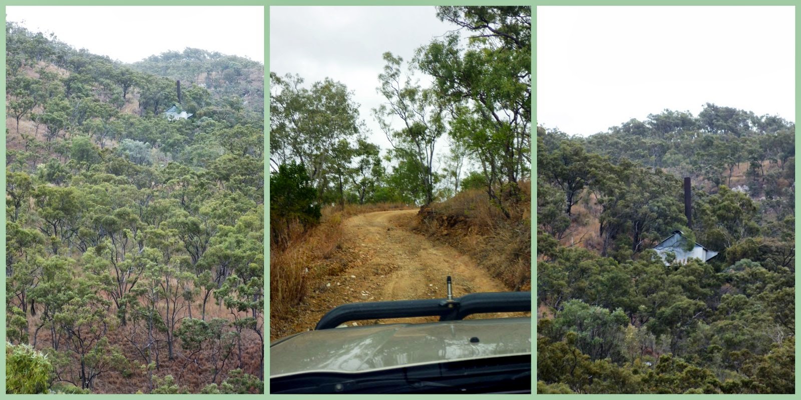
Once back in the car we were off adventuring again looking for more mining finds. We saw a chimney up in the hills and went to discover but decided not to go past the 'private mining lease do not enter' sign. People are still trying to find their millions in these rocky, unforgiving hills.


We retraced our wheel tracks and headed off in a new direction stopping at Thornborough cemetery. We had passed what remained of what was a substantial town earlier. I found the cemeteries interesting but find it curious how they still hold so much emotion within them. I know that sounds weird but I guess it is that I 'feel' for those families who lost members in such harsh conditions and then you see a grave with the names of five children who all died very young and wonder at why the families stayed and continued. Something that was very interesting though was that all but one of the graves didn't have a birth date but instead had a date of death and and age, most including the months as well.
 

This was not the end of our delving into history and going back in time.
More soon.
Do you like to delve into history and jump into physical history adventures?
Where have you visited recently?

Posted by Picasa

There is more on Tyrconnell here and here.
Also more on Thornborough and Kingsborough here.